
The South Santiam Watershed
The South Santiam at a Glance
The South Santiam Watershed has its headwaters in the Cascade Mountains and flows into the Willamette River Valley. The watershed covers approximately 1,040 square miles within Linn County. The basin ranges in elevation from 220 feet to approximately 5,721 feet. The watershed includes the communities of Lebanon, Sweet Home, and Scio, along with many smaller communities and rural areas.
From steep, mountainous terrain in the east (roughly 80% of the watershed) to low floodplains in the west, the South Santiam watershed varies greatly in elevation, land use, and ecology. Due to ecological differences such as ecoregion, management, and elevation, the watershed can be divided into two sections.
The upper section includes the following subwatersheds:
- Headwaters
- Quartzville,
- Middle Santiam
- Foster
The lower section includes the following subwatersheds:
- Lower South Santiam
- Crabtree
- Thomas
- Wiley


What is a Watershed?
A watershed is defined as the area of land where all precipitation drains into a single body of water. The boundaries of a watershed are defined by the surrounding landforms, such as buttes and mountain ranges, which guide water into a watershed much like the walls of a funnel guide water into a spout. Since rivers and the surrounding land are closely connected, healthy land means healthy streams.
Explore the South Santiam Watershed
From the Cascade headwaters to the Willamette Valley, the South Santiam Watershed is a connected network of forests, streams, working lands, and communities.
Explore the watershed from upstream to downstream and discover the places, people, and natural resources that make the South Santiam unique.
Scroll to travel downstream and explore the watershed.
Where the Watershed Begins
The South Santiam begins high in the Cascade Mountains, where forests, cold streams, and steep valleys shape the headwaters of the watershed.
These forests and streams provide important habitat for native fish and wildlife while supplying clean, cold water that flows downstream through the communities and working lands of the basin.
Protecting healthy headwaters helps support the entire watershed downstream.


Forests, Streams & Restoration
As the river moves downstream, tributaries and smaller streams add to its flow and create a network of habitats that support fish, wildlife, forests, and people.
This part of the watershed is also home to many of SSWC's restoration projects. Working with landowners, land managers, and agency partners, we help improve fish passage, restore streamside vegetation, and create healthier, more complex stream habitat.
Restoration in one place can benefit communities and ecosystems far beyond the project site.
A River Connected to Our Communities
Rivers and streams are an integral part of everyday life in South Santiam communities. In and around Sweet Home, tributaries like Ames Creek link neighborhoods, parks, and forests with the river's main stem. In Lebanon, residents enjoy the serene settings of River and Riverview parks, which are located along the banks of the South Santiam River.
These places provide opportunities for recreation, education, restoration, and community connection. They also remind us that watershed health is closely connected to the places where people live, work, and play.

The River We Share
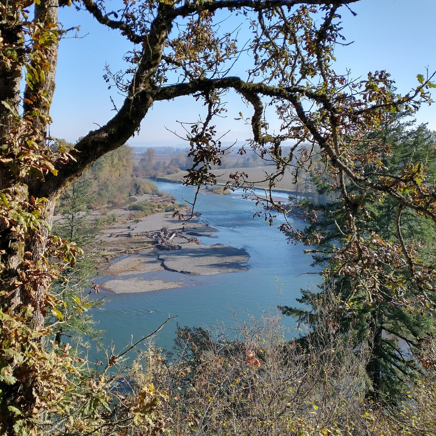
Downstream, the South Santiam becomes part of the broader Willamette Valley where forests, farms, communities, and waterways come together.
The health of the lower watershed depends on everything happening upstream, and the choices made here can influence water quality, fish and wildlife habitat, and the communities further downstream.
Protecting the South Santiam is a shared effort, connecting people and places across the entire watershed.
A Connected Watershed
Water, forests, fish, wildlife, working lands, and communities are all connected by the South Santiam River.
Protecting the watershed means working across boundaries and bringing people together to care for the places we all depend on.


